Mountain biking from Champagny-en-Vanoise
For lift-assisted riding in Champagny, compare blue/moderate Les Genévriers with red/difficult Forêt du Miollet. Both start at the gondola summit. The separate Glière–Grand Plan ride starts at Le Laisonnay and is a difficult climbing itinerary, with a specifically tolerated park corridor rather than general cycling access.
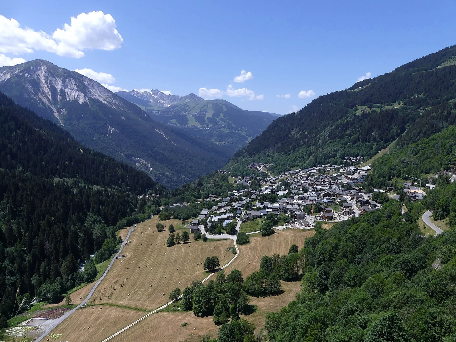
Eastern approaches above Champagny-en-Vanoise. · Photo: Florian Pépellin / Wikimedia Commons, CC BY-SA 4.0 (resized to WebP) Source
Decide first whether you want an enduro descent after a gondola ride or an outing that earns its height from the valley. The route grade and terrain matter more than the bike’s electric assistance or a short published riding time.
Compare three official routes
| Route | Official route figures | Character |
|---|---|---|
| No. 24, Les Genévriers | 4.2 km; about 690 m descent; blue/moderate | Gondola-summit start; less technical than Miollet |
| No. 23, Forêt du Miollet | 4.2 km; 20 m ascent and 720 m descent; red/difficult | Steep, technical enduro with tight turns |
| La Glière / Chalet du Grand Plan | 17.9 km return; 702 m ascent; red/difficult | Le Laisonnay start; a climbing valley itinerary |
The enduro cards give riding estimates of around 25–30 minutes. Allow additional time for lift queues, breaks, inspection and a pace suited to you. These figures are not a recommended race time.
Confirm lift and equipment arrangements
The summit descents depend on the Champagny summer gondola. Confirm the operating day, bike carriage, ticket coverage and last ascent before hiring equipment. A winter lift network does not establish summer connections between villages.
Describe your planned route and experience to the hire shop or instructor. Confirm the bike type, suspension, brakes, protective equipment, rental return time and any e-bike battery or charging needs. A bike suited to a valley ride may not be the right choice for technical enduro.
The protected-area exception is specific
The tourist office identifies a tolerated incursion for the Glière–Grand Plan itinerary in the Vanoise park sector. Stay with the published route and obey current signs. Do not use this exception to justify another trail or a continuation on a pedestrian route.
Trail availability also depends on snow, weather, maintenance and pastoral activity. The longer valley ride should be planned with its own food, water and return margin; do not assume a refuge provides services on arrival.
Choose a ride you can descend
An e-bike changes uphill effort, not the demands of loose surfaces, braking and corners. If your group lacks mountain-bike experience, arrange instruction and a route recommendation instead of defaulting to a blue descent. Tell the instructor about the least confident rider.
Download the current route map and agree a meeting point in the village. For a different way to spend the day, the summer guide compares walking and valley alternatives.
Common questions
Which Champagny descent is less technical?
The official listing grades Les Genévriers blue/moderate and describes it as less technical than Forêt du Miollet, which is red/difficult. Choose with a guide or instructor if you are unsure of your descending skills.
Can I ride everywhere in the Vanoise core?
No. Cycling is restricted. The tourist office lists a specifically tolerated La Glière–Chalet du Grand Plan corridor; it does not authorise arbitrary trails, hiking shortcuts or further extensions. Confirm current signs and park rules.
Does an electric bike make the Glière route easy?
No. The official route remains red/difficult, with around 702 m ascent over 17.9 km return. Assistance can help the climb but does not remove handling, braking, terrain or battery requirements.