Hiking from Champagny-en-Vanoise
For a gentle introduction, choose the Gorzdérés valley walk from Le Bois. For a mountain day from Le Laisonnay, compare the 450 m ascent to Glière with the 600 m ascent to Plaisance. Col de Plan Séry is a longer, harder extension, not part of the short refuge walk.
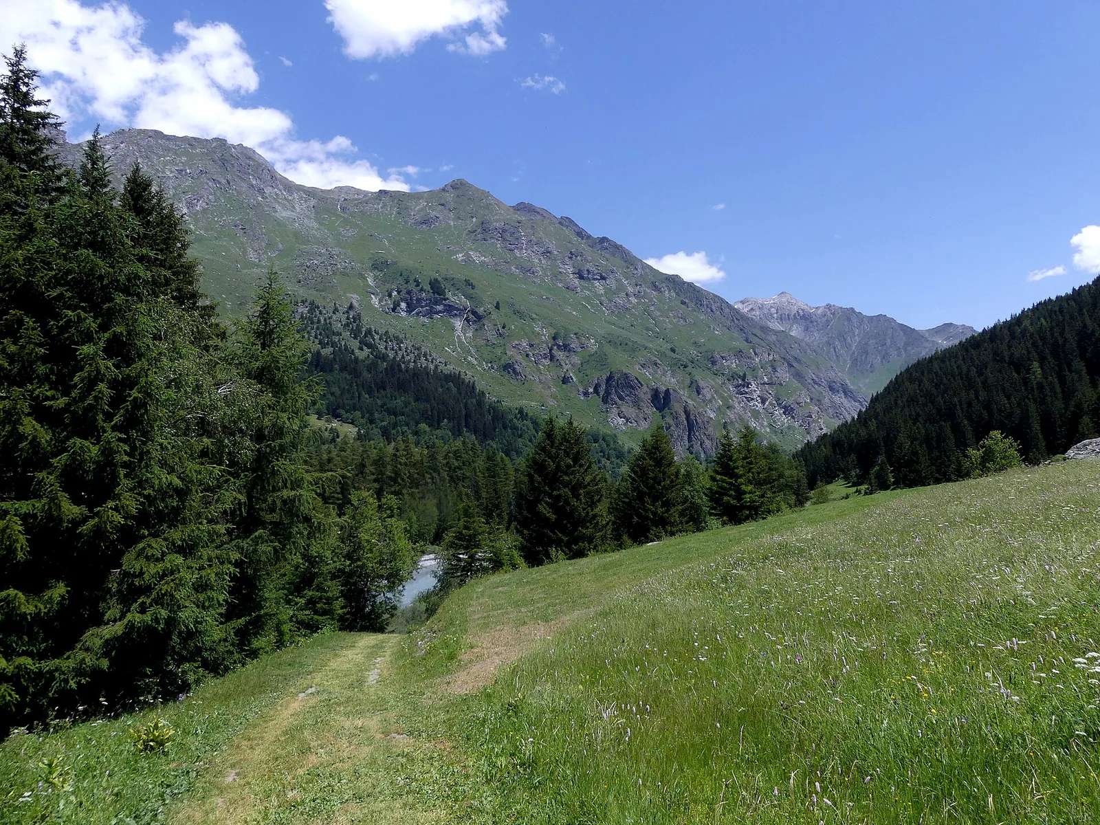
Trail in Champagny-le-Haut. · Photo: Florian Pépellin / Wikimedia Commons, CC BY-SA 4.0 (resized to WebP) Source
Choose the walk for the least experienced person in your group, then plan the start and return. A lift-assisted descent, a valley discovery loop and a refuge approach demand very different days.
Compare four walking options
| Walk | Official planning figures | What changes the decision |
|---|---|---|
| Gorzdérés, Le Bois–Friburge | 2.5 km loop, 50 m ascent, about 1 h 30; green/easy | Gravel and earth; a useful first valley outing |
| Refuge de la Glière | About 1 h 30 uphill and 450 m ascent from Le Laisonnay | Allow the descent, pauses and a margin; the hut is a separate service check |
| Refuge de Plaisance | 7 km return, 600 m ascent; 1 h 45–2 h uphill | A sustained initial climb beside the Cascade du Py |
| Col de Plan Séry via Plaisance | 12 km return, 1,080 m ascent, about 6 h 30; red/difficult | A full mountain day, with additional height and commitment beyond the refuge |
Figures are the route or refuge publishers’ estimates for their named itineraries, not a pace guarantee. Read the linked Glière and Plaisance guides before deciding on an overnight.
Pick the correct trailhead
Le Bois is useful for a discovery walk and Glacialis. Le Laisonnay is farther up Champagny-le-Haut and serves the two refuge approaches. In winter, the road endpoint is at Le Bois; summer driving directions to Le Laisonnay do not apply automatically to a snowy visit.
If you stay in the main village, include the upper-valley transfer in the day. Confirm any seasonal shuttle rather than assuming it reaches your trailhead. Carry an offline map and agree a return meeting point if somebody drops you off.
Walking from the gondola
The official Plan du Bouc–Les Chapelets walk starts at the upper gondola station and descends toward the village. It still includes uphill walking and a substantial descent. Choose it only after checking the summer gondola calendar and reading that route’s own card; a ride uphill does not make the subsequent trail effortless.
Before the mountain day
Check weather for the route’s altitude, recent rain and remaining snow, then carry suitable footwear, water, food and layers. Set a turnaround time based on the return journey. A clear valley morning does not establish conditions on a high pass.
Read the Vanoise rules before entering the protected core. Dog access differs by route; neither an accepted pet at your lodging nor a valley walk grants access to a core refuge approach. For route choice or unfamiliar terrain, ask a qualified mountain leader for a day matched to your group.
Common questions
Where do walks in Champagny-le-Haut start?
The Gorzdérés discovery walk starts at Le Bois. Glière and Plaisance approaches start at the Le Laisonnay end of the valley when seasonal road access permits. Check the exact trailhead before arranging transport.
Is Refuge de Plaisance the same walk as Col de Plan Séry?
No. The refuge approach is about 7 km return with 600 m ascent. The official Col de Plan Séry itinerary is 12 km return with 1,080 m ascent and a difficult grading.
Do I need the gondola for hiking?
Only for an itinerary that starts at its upper station. The Le Bois and Le Laisonnay valley starts do not depend on the gondola, although road and trail conditions still matter.